Neponset River
Stan Atkinson
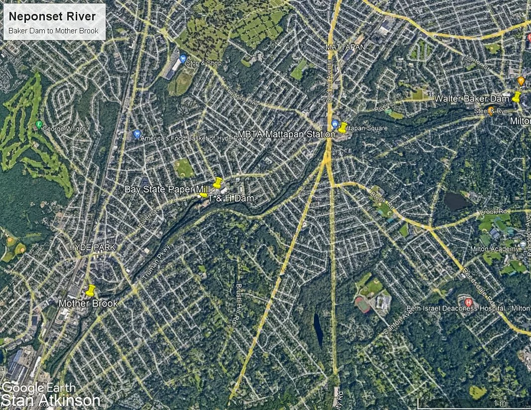
The Neponset River is approximately 29 miles long, beginning at the Neponset Reservoir in Foxborough, Mass and emptying into Dorchester Bay between Dorchester and Quincy, Mass. The colonists recognized, early on, the potential that the river’s flow presented. Mother Brook is a canal that was dug, in the 1600s, to divert some of the flow from the Charles River into the Neponset.
In 1635, the New World’s first grist mill went into operation on the river near what is now Lower Mills. This was quickly followed by mills producing gunpowder and paper.
In 1763, a lumber mill was built on the river in what is now Hyde Park.
In 1765, a chocolate mill was built, on the river in Lower Mills. This was the first of several chocolate mills in the area that were later consolidated into The Walter Baker Chocolate Company.
In 1773, a paper mill was built on the site of the above mentioned lumber mill. This mill later became Tileston and Hollingsworth Paper and, still later, Bay State Paper.
In 1826, the first railroad in America began operation to move granite from the Quincy Quarries to a dock on the Neponset River.
In 1848, the Dorchester and Milton Branch Railroad was built between the Port Norfolk section of Dorchester and Mattapan. Passenger service on this branch ended in 1929 when the trolly line from Ashmont to Mattapan began operation but freight service continued into the 1980s. The present Neponset River Trail was built on this railbed in 2017.
After the establishment of the Metropolitan District Commission (MDC) in 1893, the industrialization of the Neponset began to slowly be reversed. In 1899, the MDC acquired 200 acres to establish the Neponset River Marshes Reservation.
In 1985 the MDC acquired the former Neponset Drive-in Theater and Hallett Street Dump land for use as riverfront parkland.
In 1990, the rails were removed from the Dorchester and Milton Branch Railroad right of way.
In 2000, Pope John Paul II Park was opened on this land.
This report illustrates some of the Old Neponset River and some of the New. The scope of this report is from the river mouth, upstream, as far as Mother Brook.
Historical photos in this report were downloaded from the Boston Public Library, Digital Commonwealth archive or were provided by the Dorchester Historical Society.